
The incoming El Niño is now officially the strongest ever recorded, says Met Office - and it hasn't even peaked yet
The El Niño developing in the Pacific has now gone past every previous record, according to the Met Office, and forecasters say it could mean a wetter, stormier few months ahead for the UK
Back in August, the long-range forecasters at the Met Office reckoned sea temperatures in the Pacific were on their way to levels that had never been seen before, and that it might even end up being the biggest El Niño since the 1800s.
Now, it looks like that's actually happened.
According to the Met Office's latest update, sea surface temperatures in the central equatorial Pacific have gone past anything recorded during a previous El Niño, which will make this the strongest event in the observational record - and it hasn't even peaked yet.
'The enormity of this El Niño'
The Met Office's head of long range prediction, Professor Adam Scaife, said they'd been "signalling for months" that this was going to be an unprecedented event - and it turns out to be true.
"The fact that it has already exceeded previous records - with several weeks to go before it peaks later this year - shows the enormity of this El Niño," he explained.
How they actually measured how strong the incoming El Niño is, came down to several different methods. The main one, the Met Office explained, is something called the Oceanic Niño Index, and this is basically a measure of how much warmer than usual the sea is. This one in one particular referenced part of the Pacific, known as the Niño 3.4 region - a big stretch of ocean that sits more or less halfway between South America and Australia.
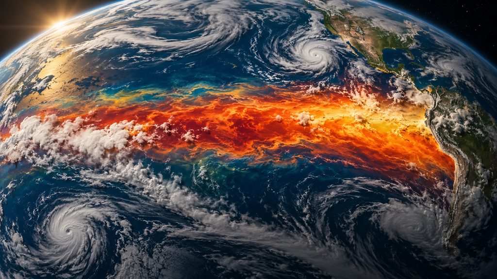
But scientists have also been using a newer index as well, which basically looks at how warm that same bit of the Pacific is compared to the rest of the tropical oceans, rather than just against its own average.
According to the Met Office, that can actually give a better picture these days, seeing as oceans pretty much everywhere are getting warmer anyway. And with a few different measures in play, the climate body said more record announcements were likely to follow as each one passes its own threshold.
The effects are already turning up around the world too, according to the forecasters. The Indian summer monsoon has been running below normal, and there hasn't been a single Atlantic hurricane so far this year, which fits with El Niño's habit of increasing wind shear over the Atlantic and stopping storms from getting going.
What it could mean closer to home
For the UK, the Met Office said the most likely effect over autumn and early winter was a higher chance of wetter, stormier weather across north-west Europe. Later in the season, the El Niño has also been linked to a greater risk of cold snaps - though forecasters were keen to point out it's just one of many different things that will shape Britain's weather.
Then there's questions surrounding global temperatures. According to Met Office science fellow Dr Nick Dunstone, big El Niños release extra heat from the ocean into the atmosphere, and that tends to show up in the year after the winter peak.
"2027 is very likely to replace 2024 as the warmest year on record and be yet another year to temporarily exceed over 1.5C above the pre-industrial period," he said.
All of this is happening on top of long-term human-caused warming, the Met Office added, so working out how the two interact is something scientists will be keeping a close eye on over the coming months.
News reference
Met Office UK. (September 2026). Record-Breaking El Niño Surpasses Previous Benchmarks.