
10,000 years ago, part of the Adriatic Sea was dry land: how rising sea levels transformed Venice’s landscape
Scientific research has reconstructed how rising sea levels reshaped the northern Adriatic landscape over thousands of years. The area now occupied by the Venetian Lagoon was once part of a vast coastal plain.
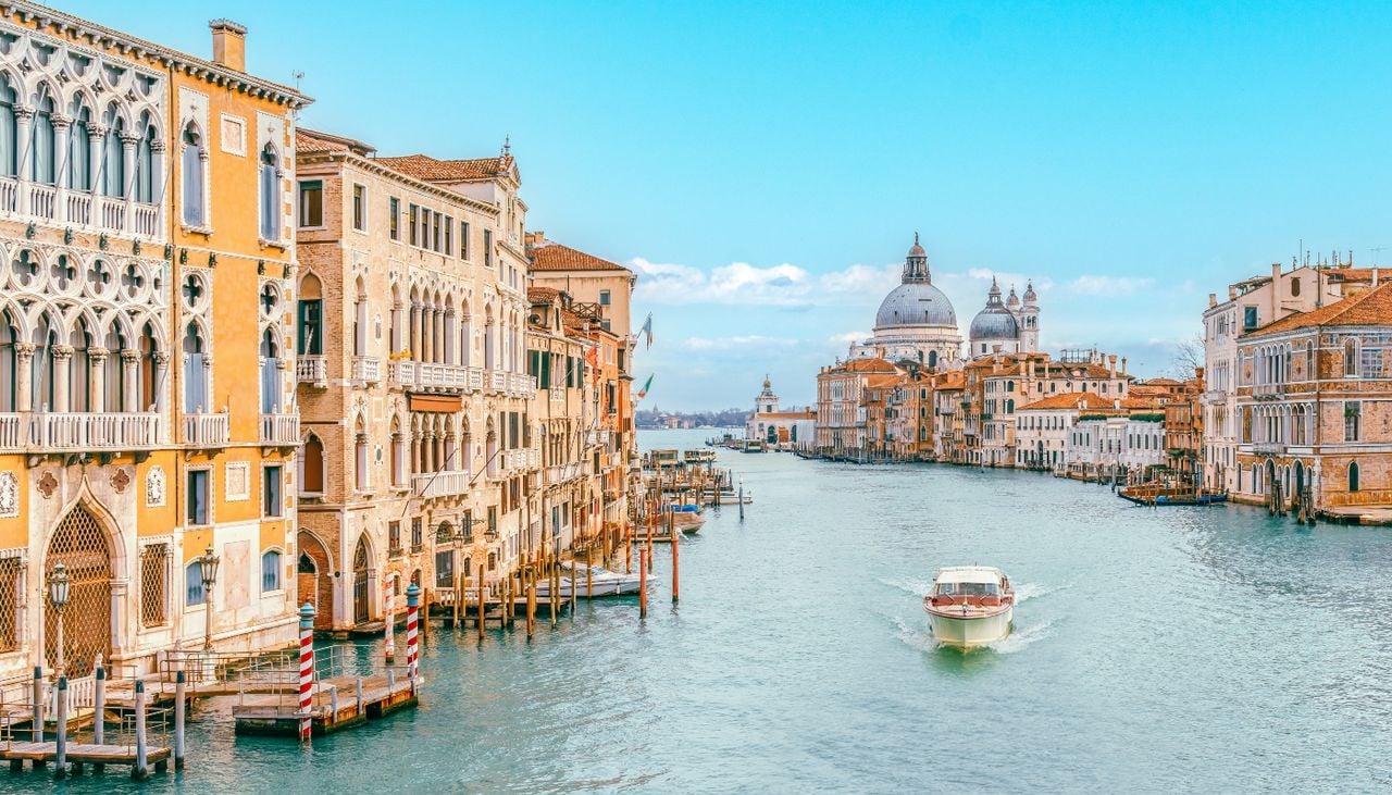
Research published in the scientific journal Quaternary Science Reviews has reconstructed the region's evolution over the past 10,000 years, revealing how successive rises in sea level dramatically reshaped the geography of the northern Adriatic
The study, led by Samuele Ongaro of the University of Southampton, provides new insights into landscapes that now lie submerged and the environmental conditions encountered by the earliest human communities living in the region.
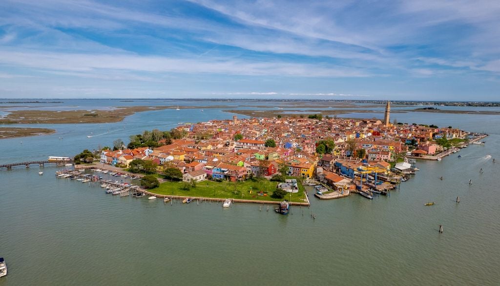
To reconstruct this ancient landscape, scientists analysed seismic records and sediment samples collected from coastal basins in Italy, Slovenia and northern Croatia. Using these data, they developed models identifying landscapes now hidden beneath the sea, including lagoons, salt marshes, deltas and natural coastal barriers.
A coastline that retreated more than 48 kilometres
One of the study's most striking findings concerns the former extent of the plain where the Venetian Lagoon now lies. According to the reconstructions, thousands of years ago, the land extended more than 48 kilometres beyond the present-day coastline.
In other words, much of the area now covered by water was once part of a considerably larger landmass. The Trieste region also looked very different, with hills overlooking extensive marshlands and lagoon environments.
The Adriatic's advance was neither continuous nor uniform throughout the period studied. Researchers identified periods of relative stability, during which coastal barriers and wetland ecosystems developed, alternating with episodes of more rapid flooding that submerged large areas over comparatively short periods.

More than 10,000 years ago, sea levels were rising at rates of up to 25 millimetres per year. This rapidly altered the coastline and reduced the amount of low-lying land available, a process the scientists divided into three main phases of abrupt change.
Following these episodes, sea-level rise entered a period of greater stability around 6,000 years ago. This relative calm allowed many coastal environments to become established, providing landscapes that would later be occupied by agricultural communities.
How did these changes affect the earliest human populations?
The transformation of the coastline was not simply a geological process. It also had direct consequences for the human communities inhabiting the northern Adriatic during the Mesolithic and Neolithic periods.
Ancient coastal wetlands probably provided favourable conditions for hunter-gatherer groups. These environments offered access to water, fish and other natural resources, alongside suitable places for movement and temporary settlement.
Later, the expansion of agriculture along the northern Adriatic coast coincided with further changes in the landscape. Understanding what these areas looked like before they became submerged helps researchers reconstruct the environmental conditions surrounding the emergence of the earliest agricultural settlements.
The authors believe their findings could also contribute to research into human migration and how societies responded to environmental change.
Many places that may once have supported prehistoric human activity now lie underwater, making them difficult to investigate using conventional archaeological methods.
A history that began long before the city of canals
The research offers a much broader perspective on Venice's history. Its distinctive geography was not solely the result of human intervention, but also of a prolonged natural evolution that transformed the Adriatic coastline over thousands of years.
The low elevation of much of the plain, the presence of numerous rivers and the movement of sediments meant that even relatively small changes in sea level could have significant consequences for the extent of land above water.
Before becoming one of the world's most recognisable tourist destinations, the area surrounding Venice was therefore part of a constantly evolving continental landscape.
It is a geological history that remained hidden beneath the water for millennia and is now being reconstructed in greater detail through seismic surveys and sediment records.
Research referenceOngaro, S., Donda, F., Lodolo, E., Gordini, E., Bynoe, R., & Sturt, F. (2026). Palaeolandscape reconstructions for the Northern Adriatic: Inundation models, depositional environments, and potential archaeological implications. Quaternary Science Reviews.